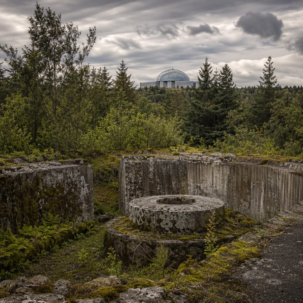
Ruins Beneath Öskjuhlíð’s Forest
Trace wartime defenses through lava, woodland, and geothermal reinvention
- Reykjavik, Iceland
- 10 stops
- 305 min
- 16 km
- History
Try the first stop
Bragginn í Nauthólsvík
A restored wartime hut reveals how military leftovers entered Reykjavík’s civilian life.
This restored braggi makes the occupation’s architecture instantly recognizable. Allied forces could erect these corrugated huts quickly, but their story continued long after the war as Reykjavík adapted them for housing, workshops, storage, and community life. Study the curved shell outside and consider why this modest survivor became valued heritage.
The route
10 stops, in order.
- 1Stop 1 · Free sample
Bragginn í Nauthólsvík
A restored wartime hut reveals how military leftovers entered Reykjavík’s civilian life.
 Stop 2
Reykjavík Airport Edge
Working runways reveal why this wooded hill became strategically vital during wartime.
- 3Stop 3
Western Machine-Gun Position
A compact firing position guarded the wartime airfield from Öskjuhlíð’s western slope.
- 4Stop 4
Northwestern Firing Position
An overgrown concrete emplacement preserves Öskjuhlíð’s most tangible occupation-era defensive architecture.
- 5Stop 5
Glacial Marks and Hvalbök
Ancient ice polished volcanic bedrock long before soldiers fortified this strategic hill.
- 6Stop 6
Perlan’s Geothermal Tanks
Six monumental water tanks transformed strategic high ground into Reykjavík’s geothermal landmark.
- 7Stop 7
Fossvogur War Graves
Ordered Commonwealth graves restore individual names to Iceland’s dangerous North Atlantic war.
- 8Stop 8
Reykjavík Grey Basalt
Exposed grey basalt reveals the volcanic foundation beneath Reykjavík’s wartime defenses.
- 9Stop 9
Western Wartime Trenches
Shallow woodland hollows preserve a defensive network softened by roots and time.
- 10Stop 10
Southern Fuel Foundations
Concrete foundations expose the logistical machinery that kept wartime Reykjavík operating.
The app guides you from stop to stop with GPS and plays each story when you arrive.
More tours in Reykjavik
See all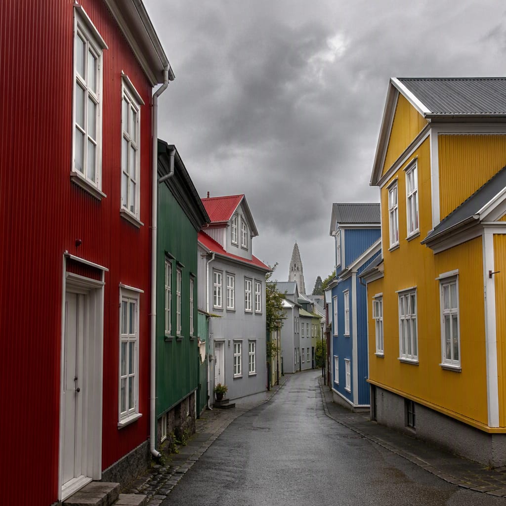 Voyay walking tour
Reykjavík: Longhouses to Iron
Walk 1,100 years from turf walls to colorful metal streetscapes
12 stops · 122 min · 1.8 km · Free
 Voyay walking tour
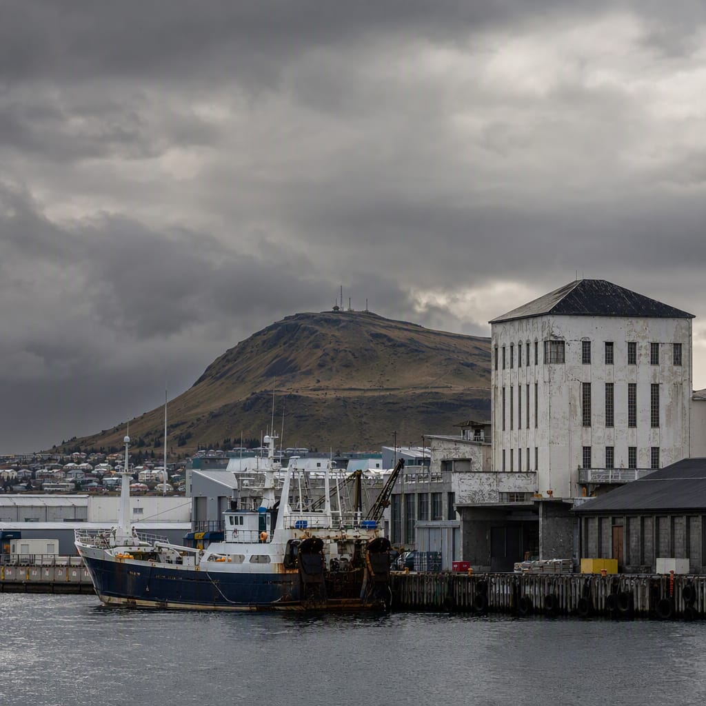
From Fish to Future
A Working Waterfront Reinvented Through Industry, Art, and Ingenuity
11 stops · 126 min · 2.8 km · Free
 Voyay walking tour
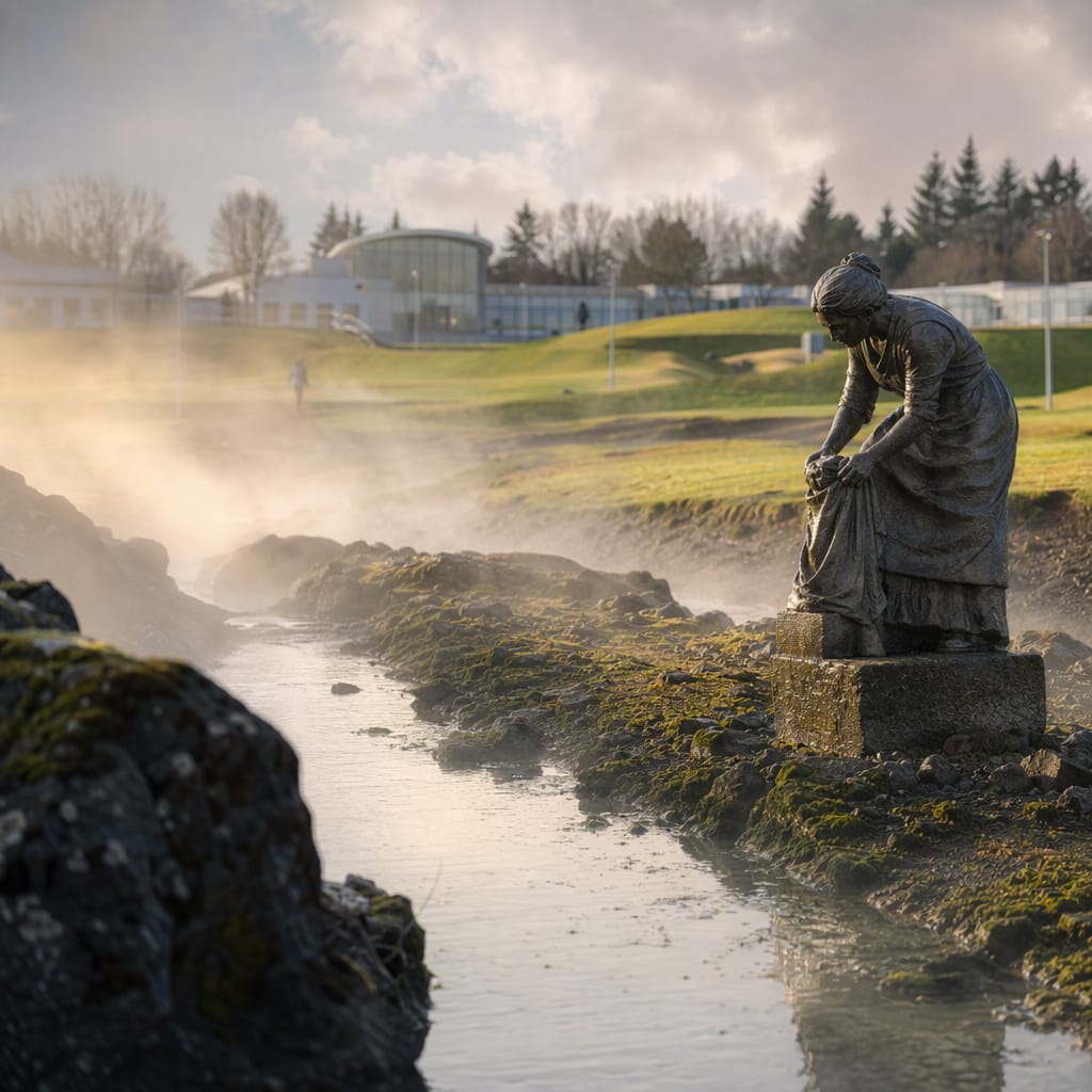
Steam Through Hot-Spring Valley
Follow washerwomen’s footsteps from geothermal labor to everyday Icelandic leisure
9 stops · 104 min · 2.3 km · Free