Walking Watergraafsmeer’s Sunken Landscape
Read Amsterdam’s hidden polder through streets, slopes, and water
- Amsterdam, Netherlands
- 11 stops
- 203 min
- 8.3 km
- History
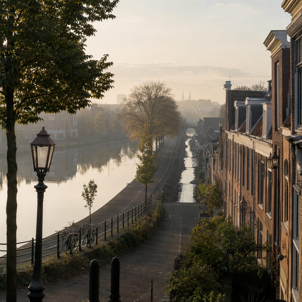
Try the first stop

Schollenbrug
A waterside threshold where raised dike, ring canal, and low polder meet.
Begin where Watergraafsmeer’s hidden structure becomes visible. Schollenbrug frames the Ringvaart outside the polder and the raised Ringdijk protecting the lower ground behind it. Compare the bridge ramps, water surface, and descending streets: together they explain how a drained lake can remain dry in plain sight.
The route
11 stops, in order.
- Stop 1 · Free sample
Schollenbrug
A waterside threshold where raised dike, ring canal, and low polder meet.
 Stop 2
Oetewalerbrug
This busy gateway reveals the canal, dike, and reclaimed basin at once.
- 3Stop 3
De Vergulden Eenhoorn
A surviving farmhouse recalls when the drained lake bed fed Amsterdam.
 Stop 4
Ringdijk
A residential street still follows Watergraafsmeer’s engineered, elevated perimeter.
 Stop 5
Nobelweg
A sloping junction exposes the drop from dike crest to polder floor.
- 6Stop 6
Park Frankendael
A country-estate garden turns managed polder water into elegant scenery.
 Stop 7
Polderweg
A literal street name leads directly into Watergraafsmeer’s lowered urban interior.
- 8Stop 8
Linnaeuskade
A quiet canal edge traces the northern curve of the former lake.
 Stop 9
Wethouder Frankeweg
Ordinary homes reveal drainage, settlement, and daily life on soft polder soil.
 Stop 10
Jaap Edenbaan
Vast sports grounds showcase the engineered flatness of the low polder.
- 11Stop 11
Anna's Tuin & Ruigte
An ecological garden rethinks how the former lake bed handles rain.
The app guides you from stop to stop with GPS and plays each story when you arrive.
More tours in Amsterdam
See all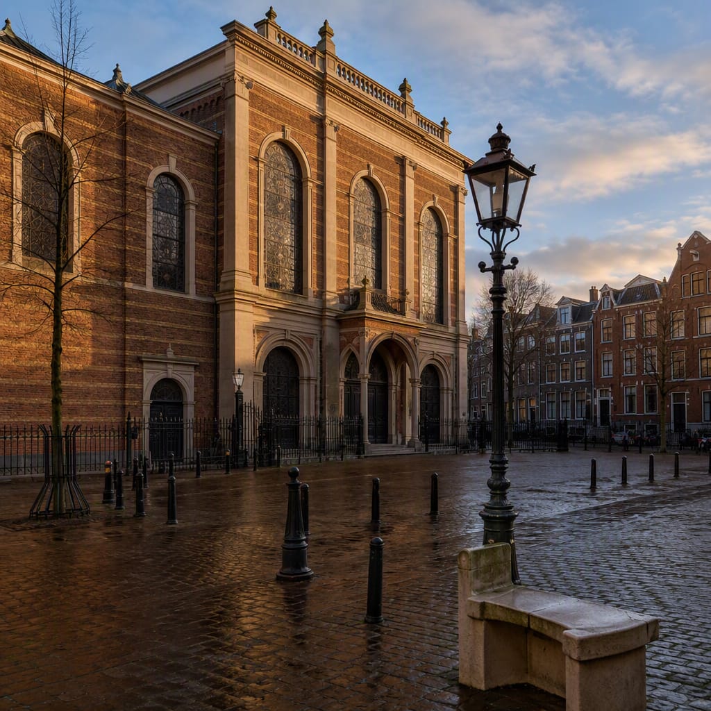 Voyay walking tour
Jewish Amsterdam: Faith and Resistance
Trace centuries of community, courage, persecution and living memory
11 stops · 123 min · 2.5 km · Free
 Voyay walking tour
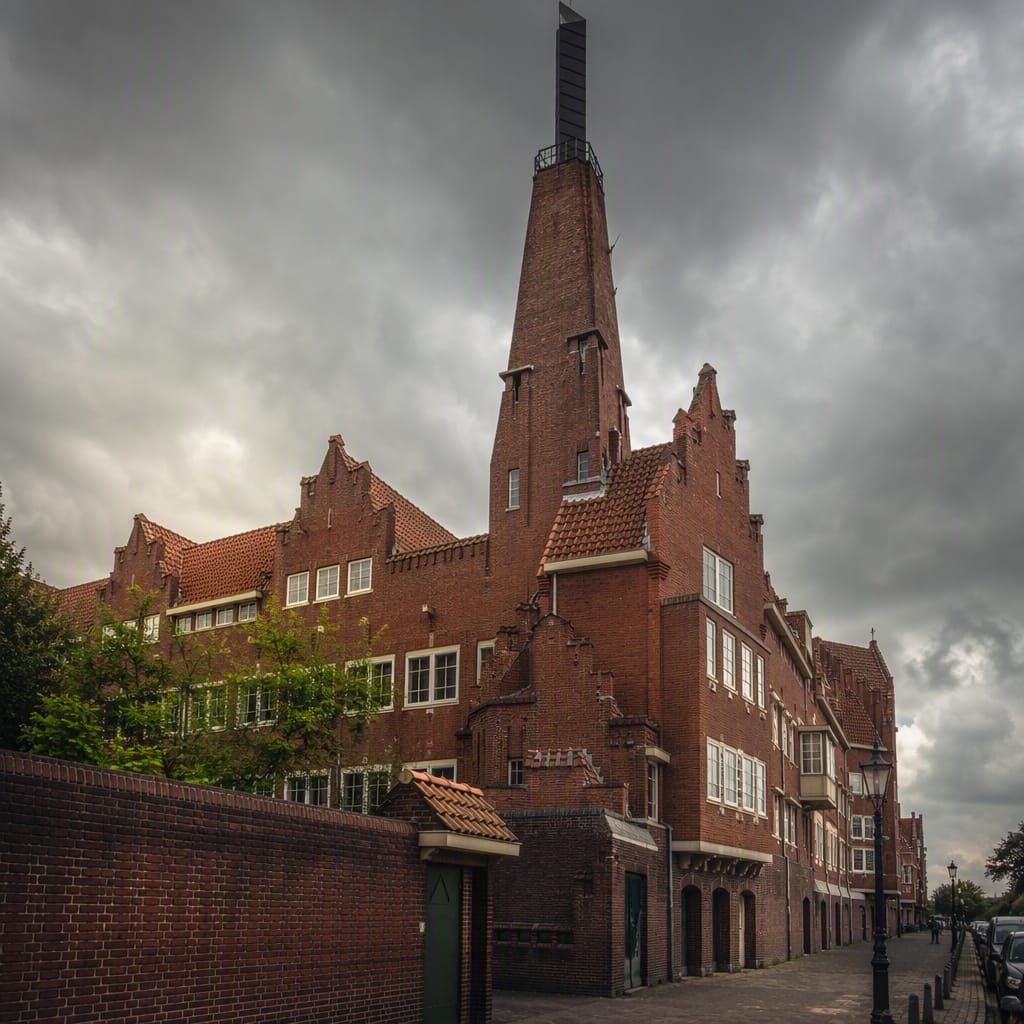
Brick Utopia in Spaarndammerbuurt
Follow bold brickwork from labor politics to housing masterpiece
12 stops · 138 min · 3 km · Free
 Voyay walking tour
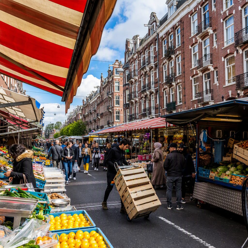
Markets and Militants of De Pijp
Workers, migrants and reformers behind Amsterdam’s liveliest neighborhood
12 stops · 148 min · 3.8 km · Free