Vienna Between Water and Sky
Trace flood defenses, global diplomacy and daring riverside architecture
- Vienna, Austria
- 12 stops
- 227 min
- 9.4 km
- Architecture
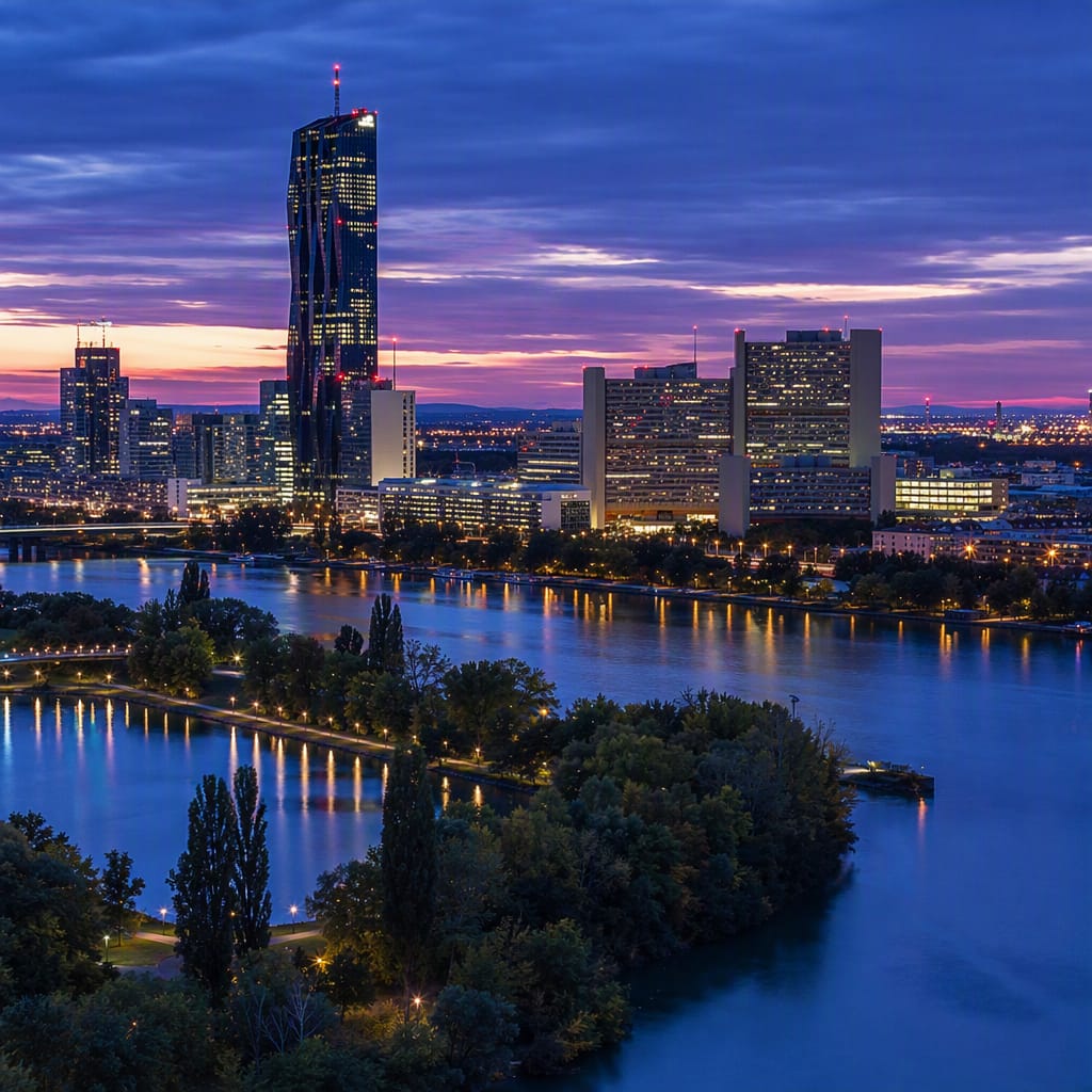
Try the first stop
Donauinsel
Vienna’s recreational island is also a 21-kilometre shield against catastrophic floods.
Donauinsel looks like a natural ribbon of parkland, but it is one of Vienna’s boldest engineering projects. Excavating the parallel New Danube created this long island and greatly increased flood capacity. Today, swimmers, cyclists and picnickers enjoy infrastructure designed to protect the city when the river rises.
The route
12 stops, in order.
- 1Stop 1 · Free sample
Donauinsel
Vienna’s recreational island is also a 21-kilometre shield against catastrophic floods.
 Stop 2
Mexikoplatz
A neighborhood square commemorates Mexico’s courageous defense of Austrian sovereignty.
 Stop 3
Reichsbrücke
Vienna’s great Danube crossing reveals the city’s layered flood-control system.
- 4Stop 4
CopaBeach
A relaxed urban beach reveals the playful afterlife of Vienna’s flood infrastructure.
 Stop 5
Goethehof
Red Vienna’s monumental housing reveals the neighborhood beneath the modern skyline.
 Stop 6
Kaiserwasser
Reeds and calm old water mirror Vienna’s soaring United Nations complex.
 Stop 7
Vienna International Centre
Vienna’s United Nations campus anchors a global capital on former wetlands.
 Stop 8
Austria Center Vienna
A vast convention center extends diplomacy into Vienna’s international conference economy.
- 9Stop 9
Carl-Auböck-Promenade
An elevated pedestrian deck exposes Donau City’s bold, multilayered urban plan.
 Stop 10
DC Tower 1
Vienna’s tallest conventional building folds dark glass into a rippling landmark.
 Stop 11
Donaupark
A serene garden landscape conceals wetlands, landfill and ambitious postwar reinvention.
 Stop 12
Donauturm
Austria’s tallest structure unlocks the full geography of Vienna’s engineered Danube.
The app guides you from stop to stop with GPS and plays each story when you arrive.
More tours in Vienna
See all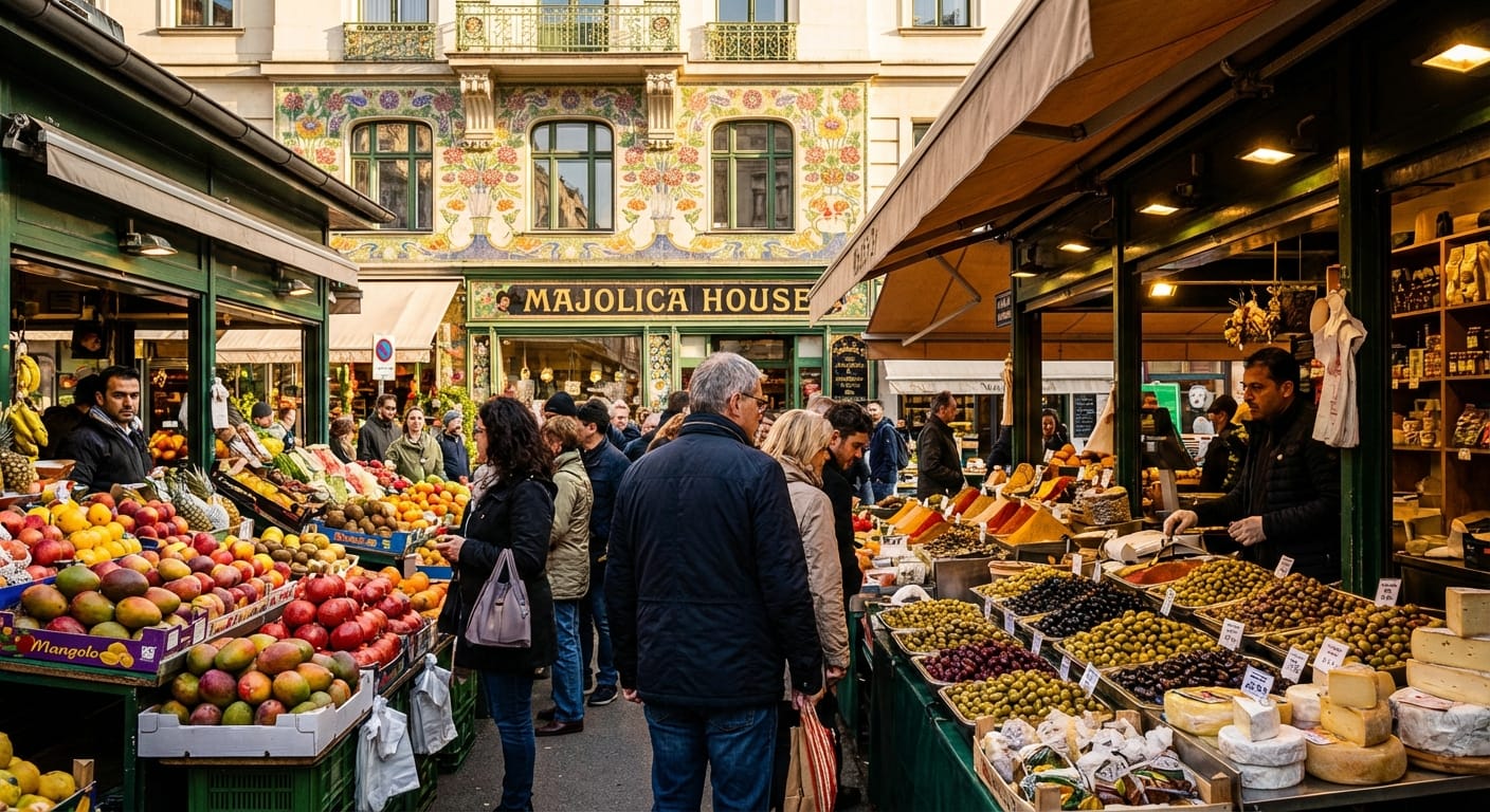 Voyay walking tour
Vienna's Golden Belly: Art & Flavors
Taste the Naschmarkt and admire Otto Wagner's Art Nouveau masterpieces.
9 stops · 90 min · 1.3 km · Free
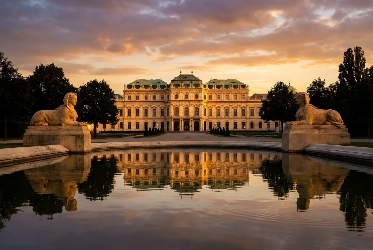 Voyay walking tour
Belvedere: Palaces & Cold War Secrets
From Baroque splendor to Soviet shadows in Vienna.
10 stops · 123 min · 3.1 km · Free
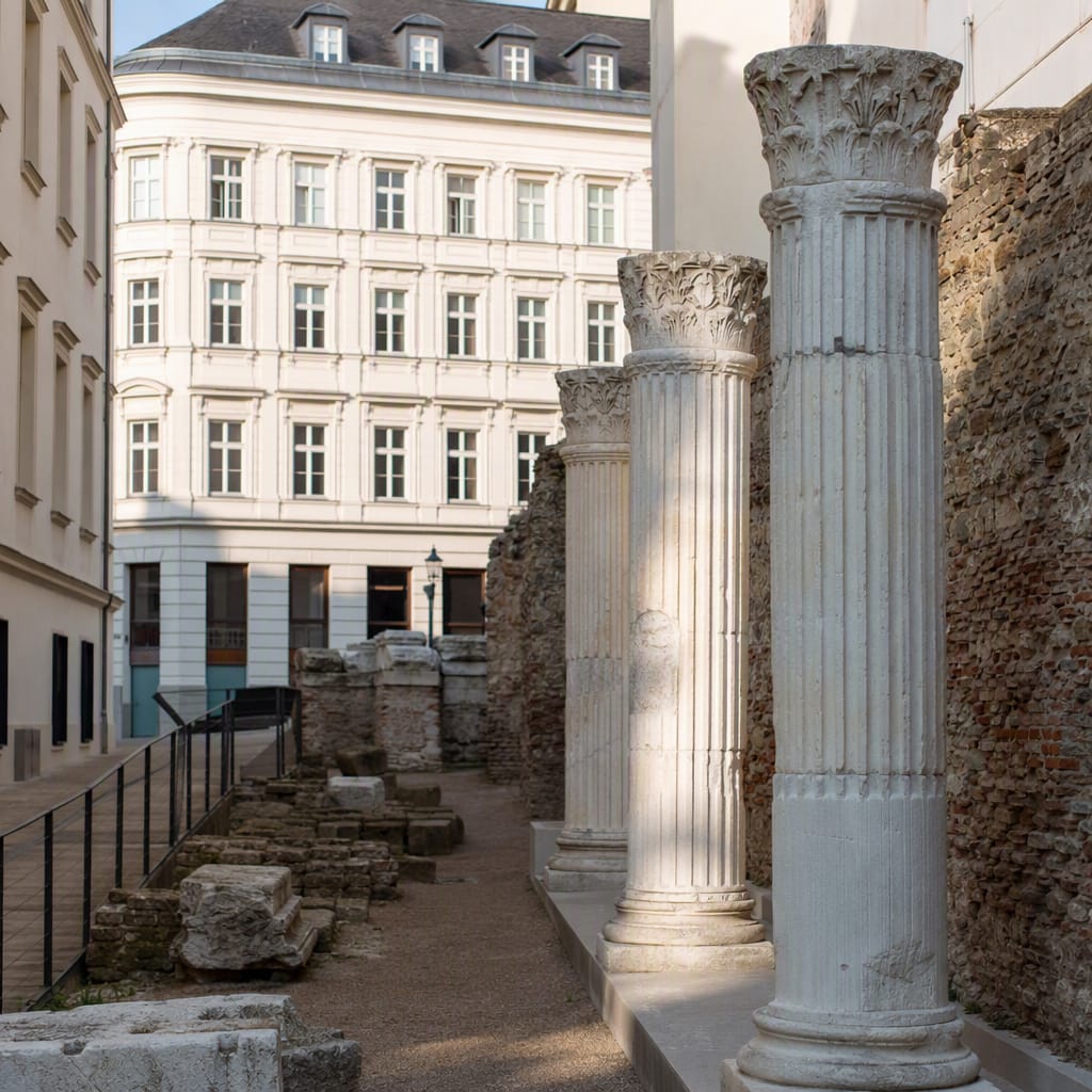 Voyay walking tour
Echoes Through Jewish Leopoldstadt
Vanished synagogues, intimate memorials, and a neighborhood alive with continuity
9 stops · 115 min · 3.1 km · Free