When the Adige Rose
Trace Verona’s flood walls, buried channels, and vanished river trades
- Verona, Italy
- 12 stops
- 139 min
- 3.1 km
- History
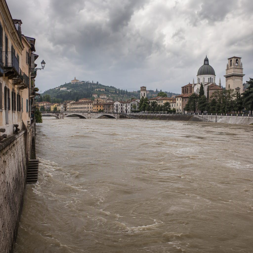
Try the first stop

Ponte Aleardi
A rebuilt crossing reveals how floods, debris, and bridge design interact.
Begin above the engineered Adige, where the tall embankments and bridge openings frame Verona’s modern flood defenses. An earlier crossing here was overwhelmed in 1882. Watch the current curl around the piers while considering three hazards engineers confront: overtopping water, scoured foundations, and debris blocking the channel.
The route
12 stops, in order.
- Stop 1 · Free sample
Ponte Aleardi
A rebuilt crossing reveals how floods, debris, and bridge design interact.
- 2Stop 2
Lungadige Porta Vittoria
Verona’s imposing river walls embody the city’s response to the 1882 disaster.
 Stop 3
Verona Natural History Museum
Alpine geology explains where Verona’s floodwater, gravel, and silt originate.
 Stop 4
Ponte delle Navi
A historic cargo crossing demonstrates why debris makes urban floods more destructive.
 Stop 5
Dogana di Fiume
A former customs house recalls Verona’s vanished cargo landings and river labor.
- 6Stop 6
Lungadige Bartolomeo Rubele
An austere embankment reveals the social cost of containing the Adige.
 Stop 7
Interrato dell’Acqua Morta
This everyday street follows the buried course of a vanished Adige channel.
 Stop 8
Piazza Isolo
An ordinary square occupies a district once defined by water and islands.
- 9Stop 9
Via Seghe San Tomaso
A street name preserves the clatter of Verona’s vanished riverside sawmills.
- 10Stop 10
Ponte Nuovo
Repeatedly rebuilt, this bridge connects historic floods with real-time river monitoring.
- 11Stop 11
Via Sottoriva
Low arcades evoke the vulnerable working community once pressed against the river.
 Stop 12
Ponte Garibaldi
A sweeping final viewpoint shows why flood defenses never eliminate flood risk.
The app guides you from stop to stop with GPS and plays each story when you arrive.
More tours in Verona
See all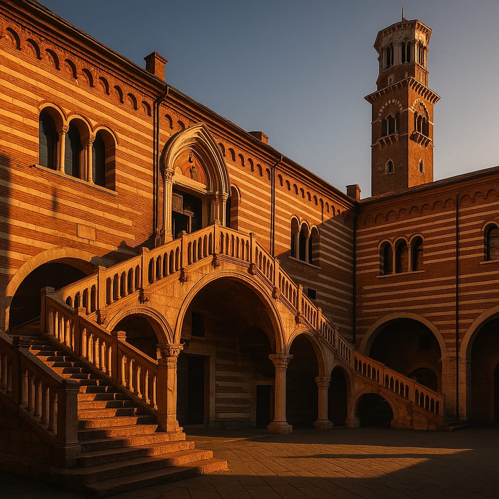 Voyay walking tour
Verona: Roman Stones & Romantic Secrets
From the Arena's grandeur to hidden courtyards and medieval legends.
11 stops · 121 min · 2.4 km · Free
 Voyay walking tour
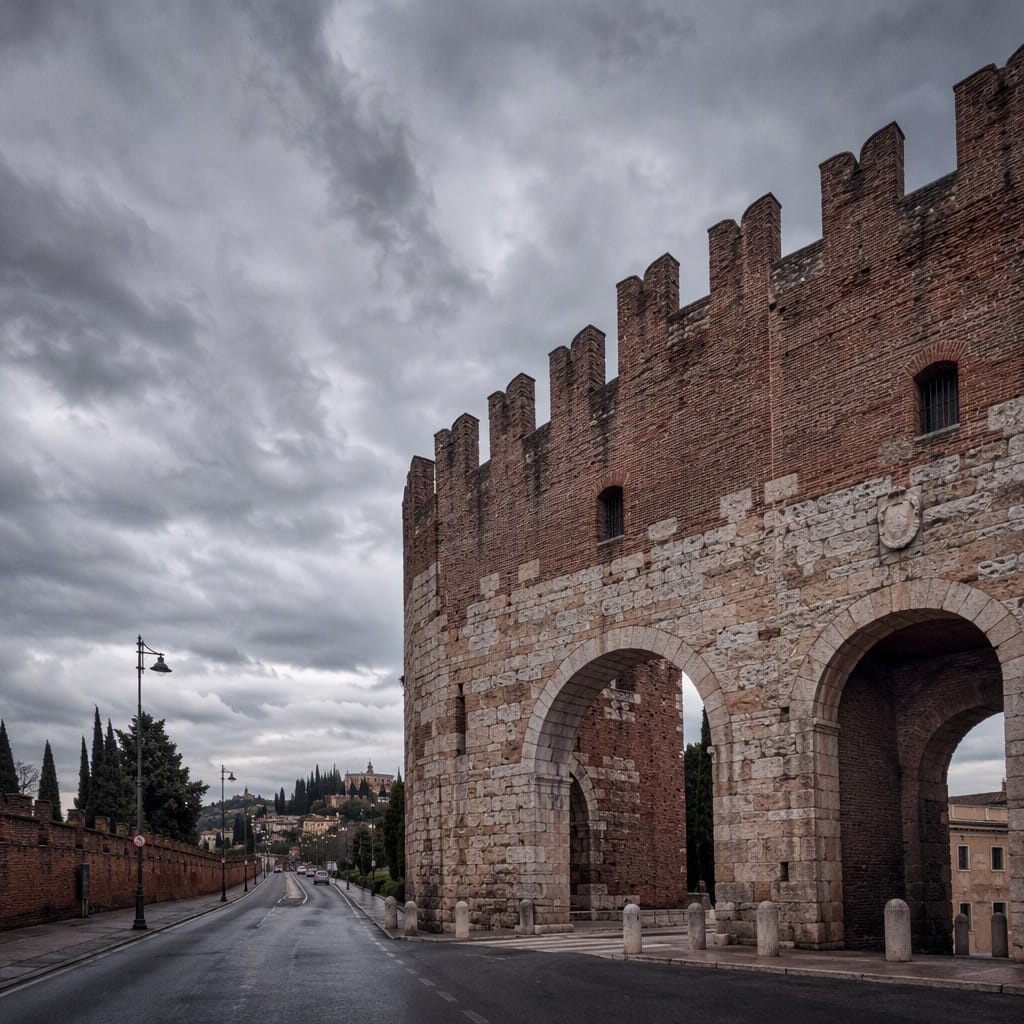
Verona’s 1848 Battle Lines
Follow imperial railways, command posts and gateways toward Santa Lucia
7 stops · 148 min · 6.6 km · Free
 Voyay walking tour
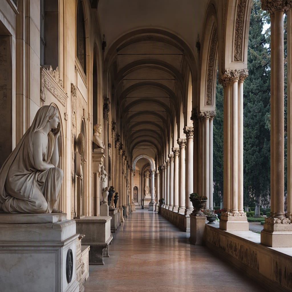
Verona’s City of Sculpted Memory
Trace art, ambition, loss and identity through neoclassical avenues
9 stops · 144 min · 5.2 km · Free