Into Rosedale’s Wild Ravines
Glacial valleys, buried creeks, bridges, and reclaimed urban nature
- Toronto, Canada
- 12 stops
- 248 min
- 10.7 km
- Nature
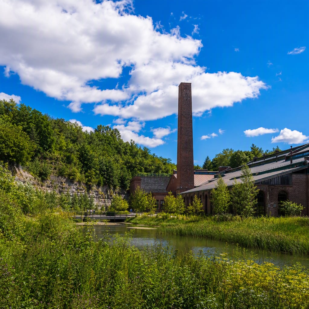
Try the first stop

Rosedale Station
Begin where subway engineering meets the steep edge of Toronto’s ravine country.
Start by reading the landscape around this unusually open-air subway station. Tracks, Crescent Road, retaining walls, and treetops occupy different elevations because the Yonge line passes along a ravine edge. Listen as trains echo through the cutting—a lively introduction to the ways Toronto’s topography directs even its busiest infrastructure.
The route
12 stops, in order.
- Stop 1 · Free sample
Rosedale Station
Begin where subway engineering meets the steep edge of Toronto’s ravine country.
- 2Stop 2
Park Drive Reservation Lands
Follow a protected woodland corridor shaped by slopes, runoff, and hidden water.
- 3Stop 3
Glen Road Bridge
Cross above the canopy where engineering reconnects streets divided by a deep valley.
- 4Stop 4
Milkman’s Lane
Descend from estate streets into a cool, enclosed corridor of urban forest.
- 5Stop 5
Craigleigh Gardens
See a former private estate dissolve gracefully into public ravine woodland.
 Stop 6
Rosedale Park
Pause on rare level ground where sport displaced the neighbourhood’s usual steep slopes.
 Stop 7
Chorley Park
Explore a vanished Government House perched dramatically above Toronto’s wooded valley system.
 Stop 8
Brick Works Park
Discover quarry pits reborn as ponds, meadows, and surprisingly rich wildlife habitat.
- 9Stop 9
Evergreen Brick Works
See local clay transformed from glacial sediment into the bricks of Toronto.
 Stop 10
Brick Works Lookout
Climb above the quarry to read an entire engineered valley at once.
 Stop 11
Moore Park Ravine Trail
Walk an old railway grade beside Mud Creek’s partly hidden urban watershed.
 Stop 12
Governor’s Bridge
Cross a deep ravine where ambitious road building helped shape a secluded enclave.
The app guides you from stop to stop with GPS and plays each story when you arrive.
More tours in Toronto
See all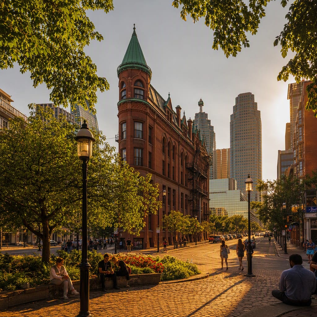 Voyay walking tour
Power and Faith in Old Toronto
Walk the institutions and shifting shoreline that shaped colonial Toronto
10 stops · 128 min · 3.3 km · Free
 Voyay walking tour
Bay Street Temples of Capital
Trace Toronto’s financial power through stone halls and glass towers
12 stops · 160 min · 4.5 km · Free
 Voyay walking tour
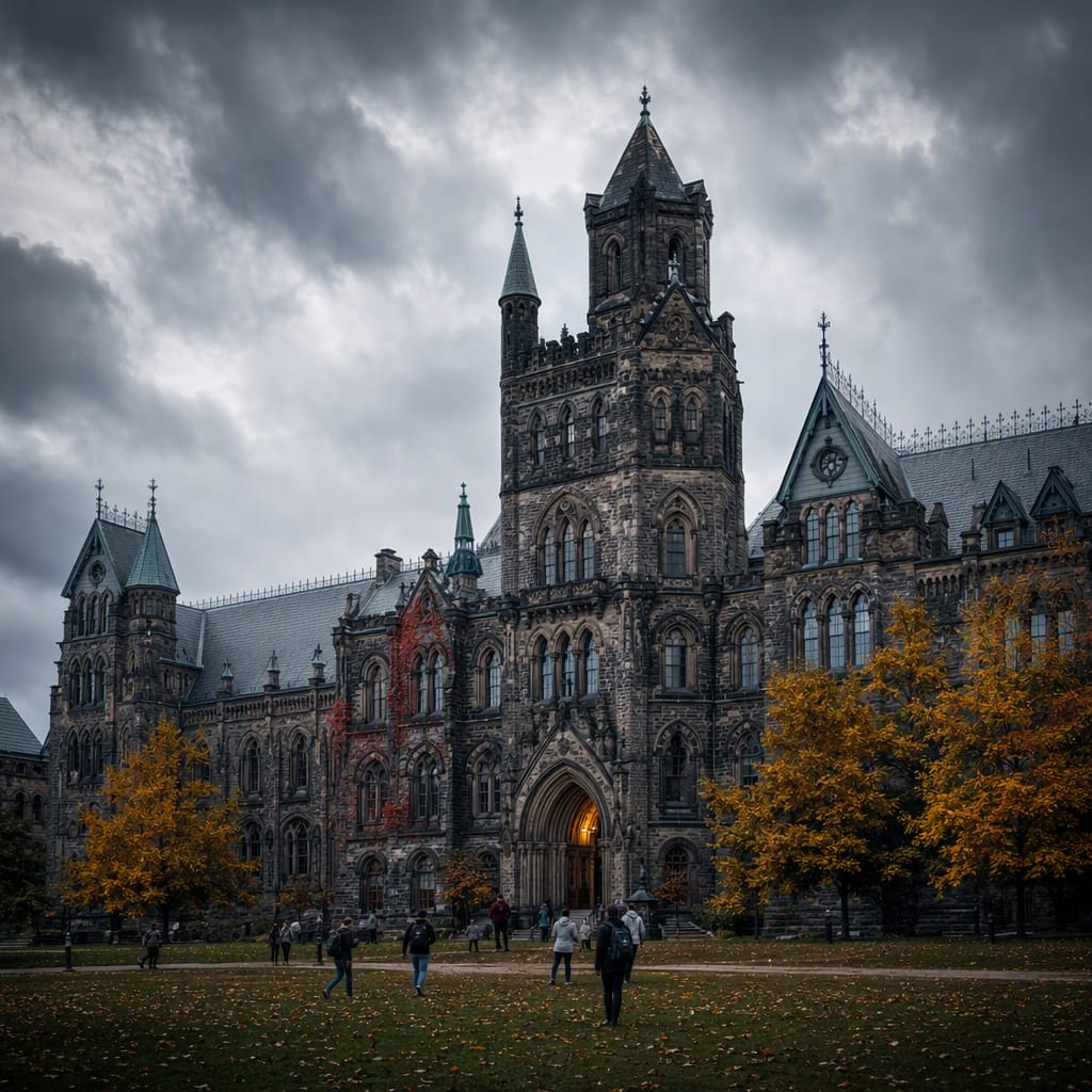
Gargoyles and Great Minds
Wander through Gothic legends, scientific breakthroughs, and lively campus traditions
12 stops · 141 min · 3.3 km · Free