The Rocks Before the Postcards
Convict traces, plague clearances and the fight to preserve community
- Sydney, Australia
- 11 stops
- 125 min
- 2.6 km
- History
Try the first stop

High Street Terraces
Purpose-built waterfront housing reveals the lives behind Sydney’s maritime economy.
These ordered brick terraces replaced some of the crowded housing condemned after the 1900 plague. Built for families connected to the wharves, they reveal how sanitary reform, labour control and public housing became intertwined. Their later privatisation also raises a difficult question: can heritage survive when established communities are displaced?
The route
11 stops, in order.
- Stop 1 · Free sample
High Street Terraces
Purpose-built waterfront housing reveals the lives behind Sydney’s maritime economy.
- 2Stop 2
Hero of Waterloo
A weathered sandstone pub keeps the old port neighbourhood’s social history alive.
- 3Stop 3
Dawes Point Battery
Colonial gun positions survive beneath the immense steel arch of Sydney Harbour Bridge.
 Stop 4
Sirius
A bold housing landmark exposes preservation’s unresolved questions about community and displacement.
- 5Stop 5
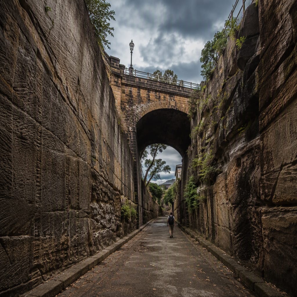
Argyle Cut
Towering sandstone walls preserve the physical force of convict and municipal labour.
 Stop 6
The Big Dig
Buried homes challenge the convenient myth of The Rocks as merely a slum.
- 7Stop 7
Susannah Place
Four modest terraces preserve generations of work, illness, resilience and neighbourly exchange.
 Stop 8
The Rocks Discovery Museum
Artefacts connect Gadigal history, convict households, plague clearances and green-ban resistance.
 Stop 9
Jack Mundey Place
A busy plaza remembers the residents and unions who stopped wholesale redevelopment.
 Stop 10
Bligh and Barney Reserve
Salvaged fragments turn demolition itself into a quiet memorial within The Rocks.
 Stop 11
Cadmans Cottage
An early harbour building now stands inland, revealing Sydney Cove’s transformed shoreline.
The app guides you from stop to stop with GPS and plays each story when you arrive.
More tours in Sydney
See all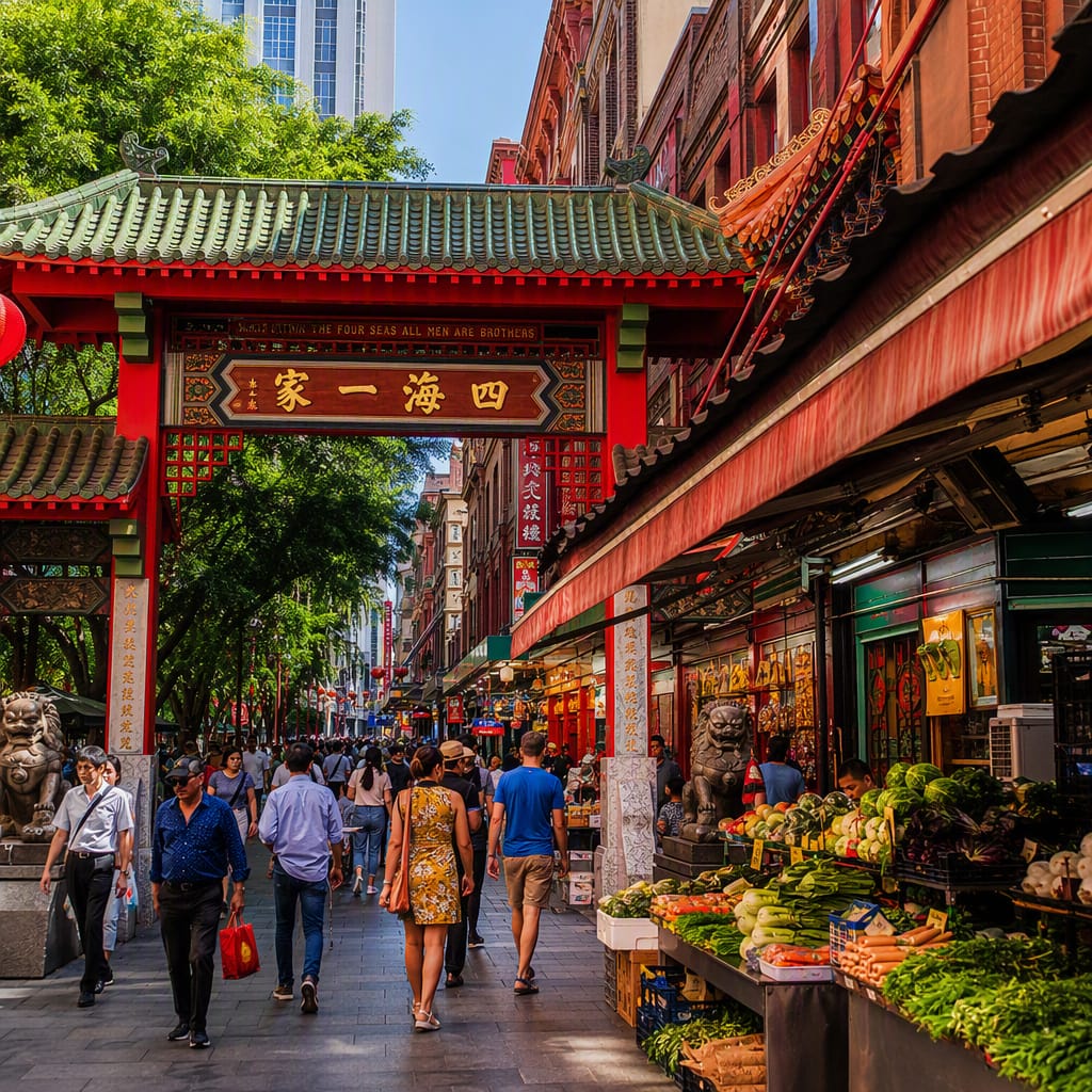 Voyay walking tour
Migrant Kitchens of Haymarket
Follow markets, migration stories, sacred spaces, and changing Chinatown streets
11 stops · 117 min · 2.2 km · Free
 Voyay walking tour
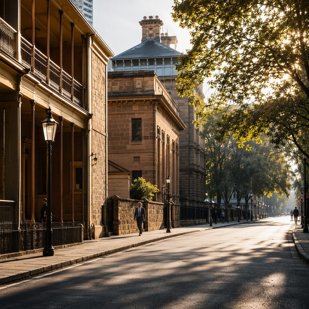
Power Along Macquarie Street
Walk through Sydney's institutions of medicine, democracy, and colonial authority.
12 stops · 142 min · 3.3 km · Free
 Voyay walking tour
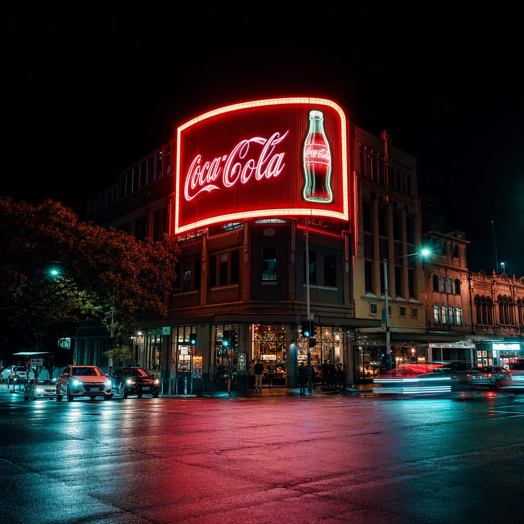
Neon Nights of Kings Cross
Art Deco Glamour, Bohemian Rebels, Vice, and Wartime Nightlife
10 stops · 122 min · 3 km · Free