Savannah’s Plan, Square by Square
Decode the ingenious ward system hidden beneath Savannah’s leafy beauty
- Savannah, United States
- 11 stops
- 122 min
- 2.3 km
- History
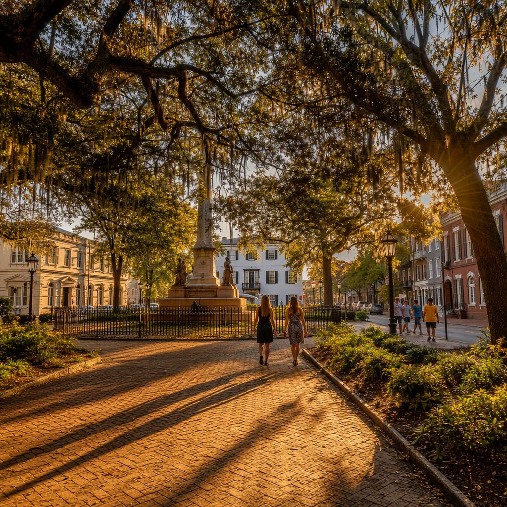
Try the first stop

Columbia Square
A fountain-centered ward reveals Savannah’s plan at an intimate neighborhood scale.
Columbia Square feels like a leafy outdoor room, yet its real attraction is the complete ward around it. Houses, streets, sidewalks, and nearby lanes remain easy to read as one composition. Listen to the fountain, notice the close façades, and compare this domestic focal point with Savannah’s monument-filled squares.
The route
11 stops, in order.
- Stop 1 · Free sample
Columbia Square
A fountain-centered ward reveals Savannah’s plan at an intimate neighborhood scale.
- 2Stop 2
Owens-Thomas House & Slave Quarters
A grand trust-lot residence exposes the labor hidden behind Savannah’s formal plan.
- 3Stop 3
Oglethorpe Square
The ward system’s trust lots and residential tythings become remarkably easy to see.
- 4Stop 4
East State Street Lane
A narrow service lane reveals the working infrastructure behind Savannah’s graceful squares.
- 5Stop 5
Warren Square
A quiet residential green shows how the ward plan supported everyday neighborhood life.
 Stop 6
Reynolds Square
A compact ward blends institutional frontage, commerce, shade, and daily street life.
 Stop 7
Savannah City Hall
The river bluff explains why Savannah’s ordered wards developed inland on high ground.
 Stop 8
Johnson Square
Savannah’s original civic square introduces the complete ward and Bull Street axis.
 Stop 9
Wright Square
Competing memorials reveal how public space shapes visibility, power, and collective memory.
 Stop 10
Telfair Square
An original ward center shows trust lots evolving into a thriving cultural district.
 Stop 11
Ellis Square
A restored square proves Savannah’s celebrated plan can be lost and rebuilt.
The app guides you from stop to stop with GPS and plays each story when you arrive.