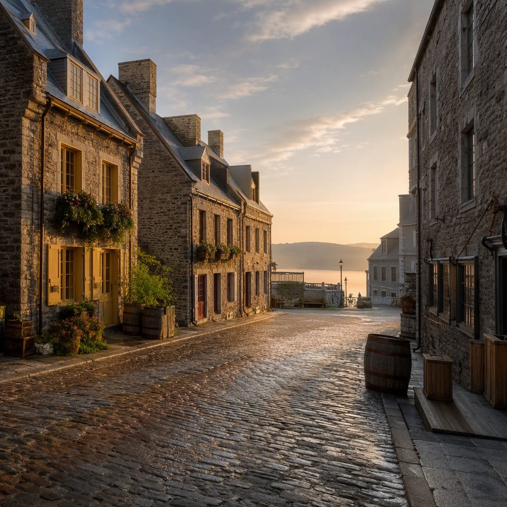
Ramparts, Gates, and Gunpowder
Decode Québec’s walls from controlled gateways to the star-shaped Citadelle
- Quebec City, Canada
- 10 stops
- 124 min
- 2.9 km
- History
Try the first stop
Artillery Park
French and British military logistics converge behind Québec’s formidable northern ramparts.
Walls could not fight without ammunition, repairs, storage, and disciplined supply. Artillery Park reveals that hidden machinery through French and British barracks, workshops, and heavy masonry fitted into cramped defensive terrain. Notice how the support buildings sit safely behind the ramparts while remaining close enough to arm them quickly.
The route
10 stops, in order.
- 1Stop 1 · Free sample
Artillery Park
French and British military logistics converge behind Québec’s formidable northern ramparts.
- 2Stop 2
Rue D’Auteuil Ramparts
Trace the curtain wall where bastions turned exposed approaches into lethal sightlines.
 Stop 3
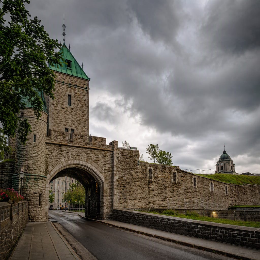
Porte Saint-Jean
A historic breach reveals how fortress gates controlled movement, trade, and attack.
 Stop 4
Place D’Youville
Open ground outside the wall exposes the deadly logic of defensive sightlines.
 Stop 5
Porte Kent
Victorian turrets reveal how obsolete defenses became a celebrated civic monument.
 Stop 6
Hôtel du Parlement
Ceremonial grounds occupy the exposed approach once protected by Québec’s western defenses.
 Stop 7
Porte Saint-Louis
This strategic gateway controlled the vulnerable road between Québec and the western plateau.
- 8Stop 8
Citadelle of Québec
Star-shaped bastions unite British engineering, artillery defense, and Cap Diamant’s commanding terrain.
 Stop 9
Citadelle Glacis
Grassed slopes and concealed masonry turn the Citadelle’s approach into engineered terrain.
- 10Stop 10
Governor’s Promenade
A cliffside route reveals how Cap Diamant became Québec’s immense natural rampart.
The app guides you from stop to stop with GPS and plays each story when you arrive.