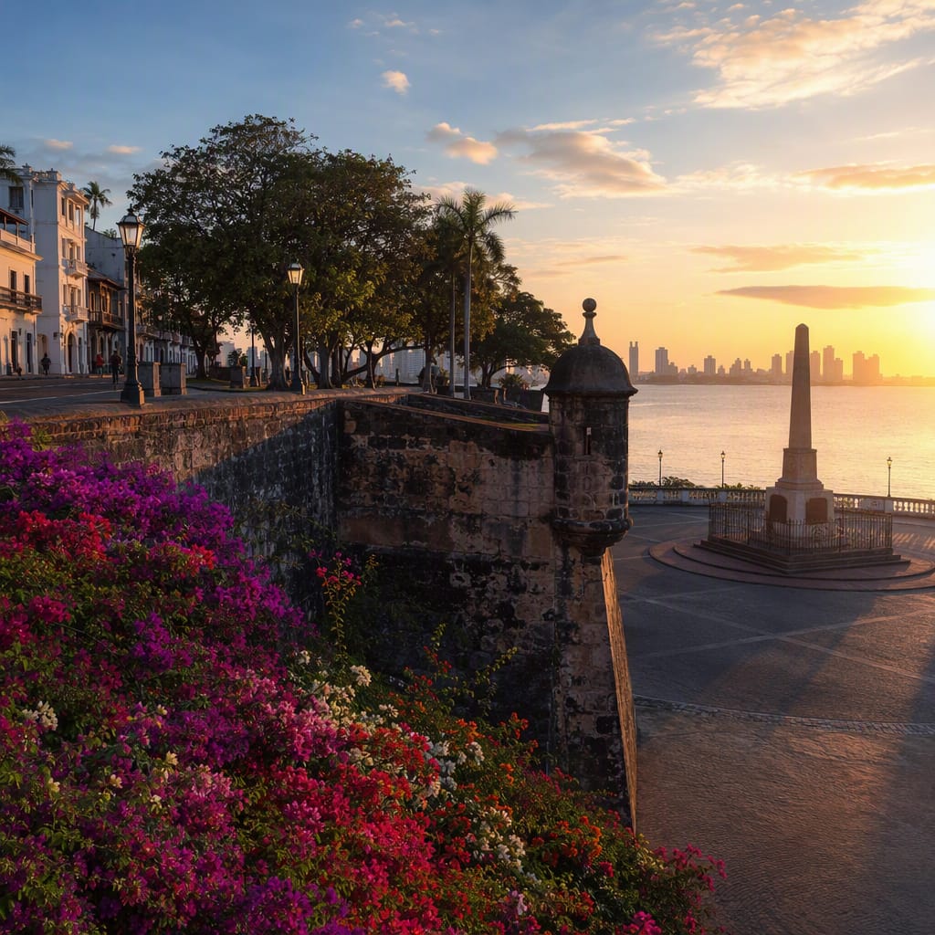
Echoes of the Canal Zone
A leafy walk through power, segregation, sovereignty, and reinvention
- Panama City, Panama
- 12 stops
- 155 min
- 10.8 km
- History
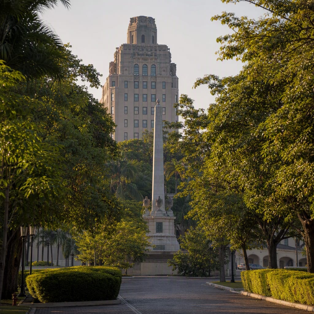
Try the first stop

Instituto Nacional
Panamanian students began a march here that transformed canal relations forever.
Begin at the ornate school known as the Nido de Águilas, a cradle of Panamanian civic leadership. In January 1964, students carried their national flag from here toward Balboa High School. The lively streets and monumental façade establish a distinctly Panamanian counterpoint to the spacious former Canal Zone ahead.
The route
12 stops, in order.
- Stop 1 · Free sample
Instituto Nacional
Panamanian students began a march here that transformed canal relations forever.
 Stop 2
Avenida de los Mártires
A renamed boundary avenue reveals the Canal Zone’s enduring political fault line.
 Stop 3
Cerro Ancón Entrance
The former strategic hillside opens into a remarkable pocket of urban forest.
 Stop 4
Ancón Forest Road
A steep service road blends military history, tropical forest, and city views.
 Stop 5
Balboa Heights
Shaded tropical homes reveal how privilege shaped the former Zone landscape.
 Stop 6
Balboa Union Church
A tropical Protestant church reflects the Zone’s imported community institutions.
 Stop 7
Canal Administration Building
A commanding hilltop headquarters turns canal government into monumental civic theater.
 Stop 8
Goethals Monument
An elegant fountain celebrates engineering leadership while obscuring thousands of workers.
- 9Stop 9
Paseo del Prado
Balboa’s grand landscaped axis makes administrative power visible through urban design.
- 10Stop 10
Teatro Balboa
A historic theater reveals leisure inside the Canal Zone’s organized social world.
- 11Stop 11
Balboa Fire Station
A working firehouse demonstrates the practical transfer of Zone civic services.
 Stop 12
Ascanio Arosemena Center
The former Balboa High School anchors Panama’s memory of the 1964 crisis.
The app guides you from stop to stop with GPS and plays each story when you arrive.