Walking Miami’s Rising Waterline
A bayside journey through ecology, exposure, and urban resilience
- Miami, United States
- 9 stops
- 126 min
- 3.9 km
- Nature
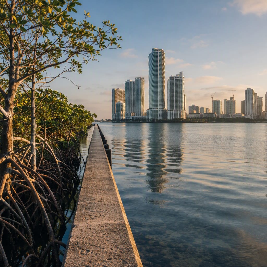
Try the first stop
Dogs and Cats Walkway
Playful sculptures reveal how shade and surfaces shape waterfront comfort.
Begin with a playful lesson in climate-ready public space. Bright animal sculptures stand among pavement, lawns, trees, and museum architecture, letting you compare how each surface handles Miami’s heat. Notice where people gather, which areas feel coolest, and how shade can be as important to resilience as seawalls.
The route
9 stops, in order.
- 1Stop 1 · Free sample
Dogs and Cats Walkway
Playful sculptures reveal how shade and surfaces shape waterfront comfort.
- 2Stop 2
Maurice A. Ferré Park
A thin seawall separates downtown Miami from a changing tidal estuary.
 Stop 3
Pérez Art Museum Miami
Elevated galleries, deep shade, and hanging gardens model subtropical adaptation.
- 4Stop 4
Frost Museum of Science
Marine exhibits connect mangroves, seagrass, reefs, and Miami’s coastal future.
 Stop 5
Museum Park Metromover
Free elevated transit offers a revealing view of climate-exposed downtown infrastructure.
 Stop 6
Adrienne Arsht Center
A monumental civic plaza exposes the links between heat and resilience.
 Stop 7
Venetian Causeway
An exposed historic crossing shows how storm surge reaches urban streets.
 Stop 8
Miami Woman’s Club
A historic civic landmark faces preservation challenges on valuable bayfront ground.
- 9Stop 9
Margaret Pace Park
Mangroves, drains, seawalls, and recreation meet along Edgewater’s shared shoreline.
The app guides you from stop to stop with GPS and plays each story when you arrive.
More tours in Miami
See all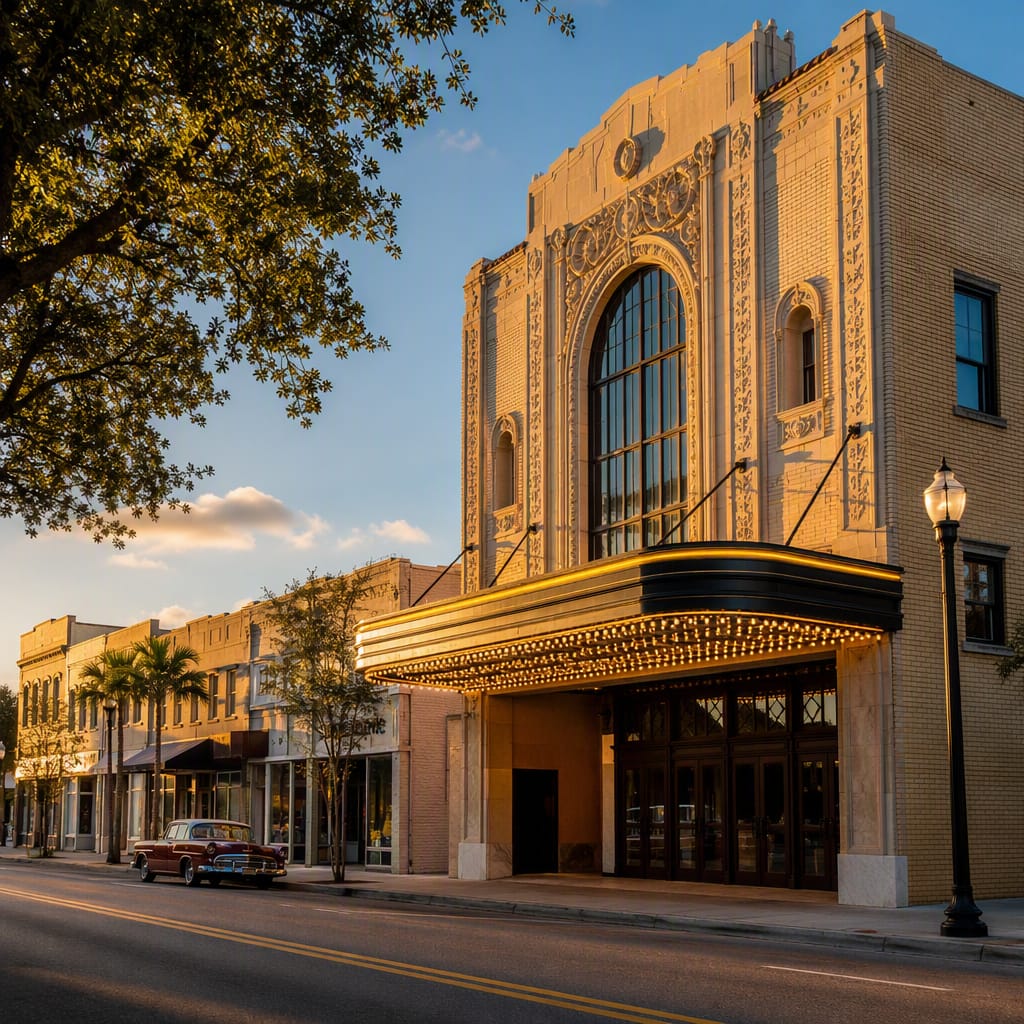 Voyay walking tour
Overtown Jazz and Highway Scars
Walk Little Broadway’s brilliance, resilience, and fractured streets up close
11 stops · 135 min · 3.4 km · Free
 Voyay walking tour
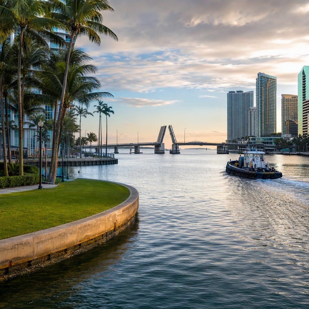
Miami River Through Deep Time
Walk from Tequesta archaeology to bridges, boats, and fish docks
11 stops · 184 min · 6.8 km · Free