Walking Lima’s Cliffs Under Pressure
Trace geology, earthquakes, and engineering along Miraflores’ dramatic coastal edge
- Lima, Peru
- 11 stops
- 197 min
- 7.4 km
- Architecture
Try the first stop
Parque María Reiche
Read Lima’s alluvial cliffs from a Nazca-inspired park above the Pacific.
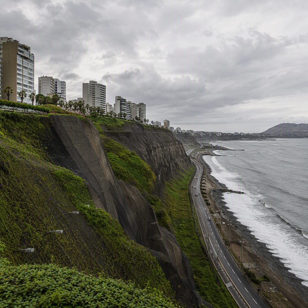
Begin where Lima’s broad urban terrace ends abruptly above the Pacific. The view separates the landscape into city platform, layered alluvial cliff, and engineered coastal strip. Nazca-inspired flower beds honor María Reiche, while mesh, planted bands, roads, and seawalls invite you to read the coast as infrastructure rather than scenery.
The route
11 stops, in order.
- 1Stop 1 · Free sample
Parque María Reiche
Read Lima’s alluvial cliffs from a Nazca-inspired park above the Pacific.
- 2Stop 2
Parque Chino
Ornamental gardens reveal why careful irrigation matters beside an unstable cliff edge.
 Stop 3
Faro de la Marina
A working lighthouse overlooks fog, salt exposure, and the engineered Costa Verde.
- 4Stop 4
Parque Antonio Raimondi
Wide lawns expose the abrupt edge, strong winds, and coastal geohazards.
 Stop 5
Bajada Balta
This historic descent compresses drainage, retaining walls, traffic, and cliff access.
 Stop 6
Puente Villena Rey
Twin bridges showcase seismic design where the Malecón crosses a deep coastal cut.
- 7Stop 7
Parque Intihuatana
Abstract sculpture frames the meeting of paving, irrigation, and engineered cliff edge.
 Stop 8
Larcomar
A cliff-integrated complex makes seismic engineering and hidden retaining structures visible.
 Stop 9
Parque Salazar
A public lawn conceals the structural roofscape of Larcomar beneath it.
- 10Stop 10
Parque Bicentenario
Ecological planting demonstrates the limits and strengths of stabilizing Lima’s coastal slopes.
 Stop 11
Bajada Armendáriz
A ravine-turned-transport corridor reveals drainage, seismic, and tsunami-planning challenges.
The app guides you from stop to stop with GPS and plays each story when you arrive.
More tours in Lima
See all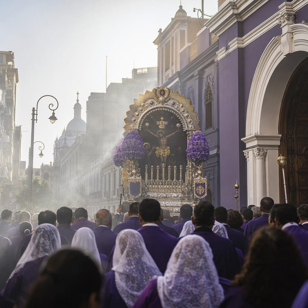 Voyay walking tour
Lima’s Convents and Sacred Processions
Walk through catacombs, convent traditions, saints and living processional faith
10 stops · 128 min · 3.6 km · Free
 Voyay walking tour
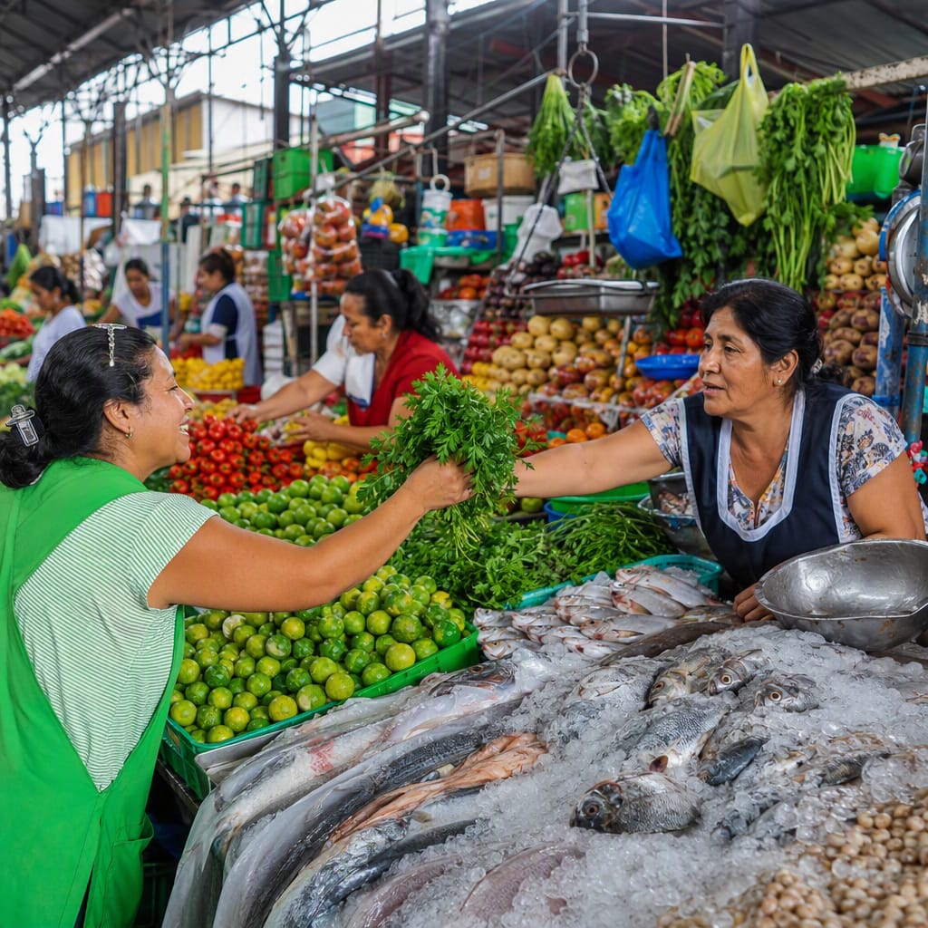
Surquillo’s Market-to-Ceviche Trail
Trace native produce and Pacific seafood from stall to plate
8 stops · 104 min · 2.9 km · Free
 Voyay walking tour
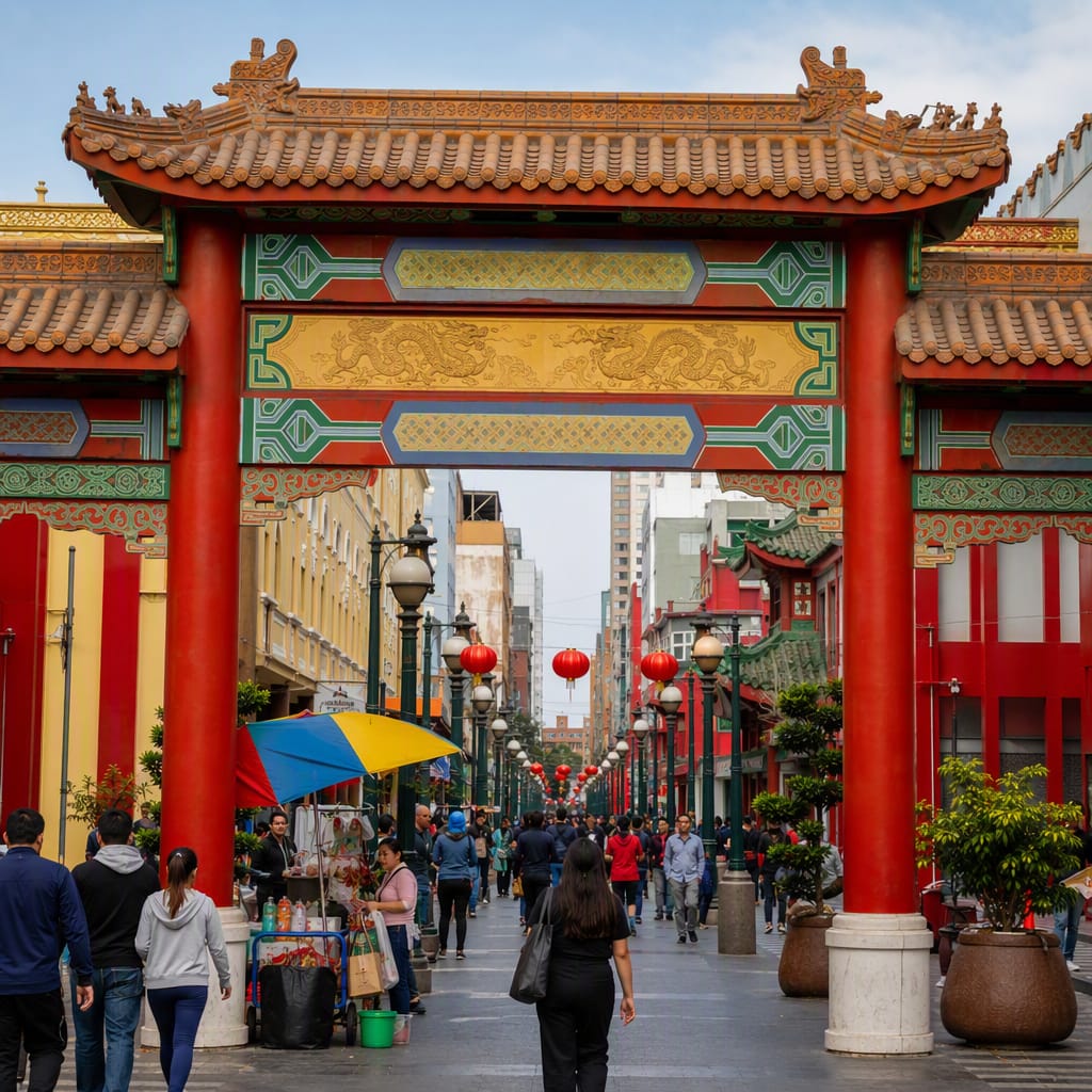
Capón Street: Migration and Memory
Trace Chinese-Peruvian belonging through markets, temples, societies, and chifa
11 stops · 144 min · 3.9 km · Free