Canals, Brick, and Kyoto’s Ambition
Walk from ingenious Meiji infrastructure to Okazaki’s bold civic landmarks
- Kyoto, Japan
- 10 stops
- 124 min
- 3.1 km
- Architecture
Try the first stop
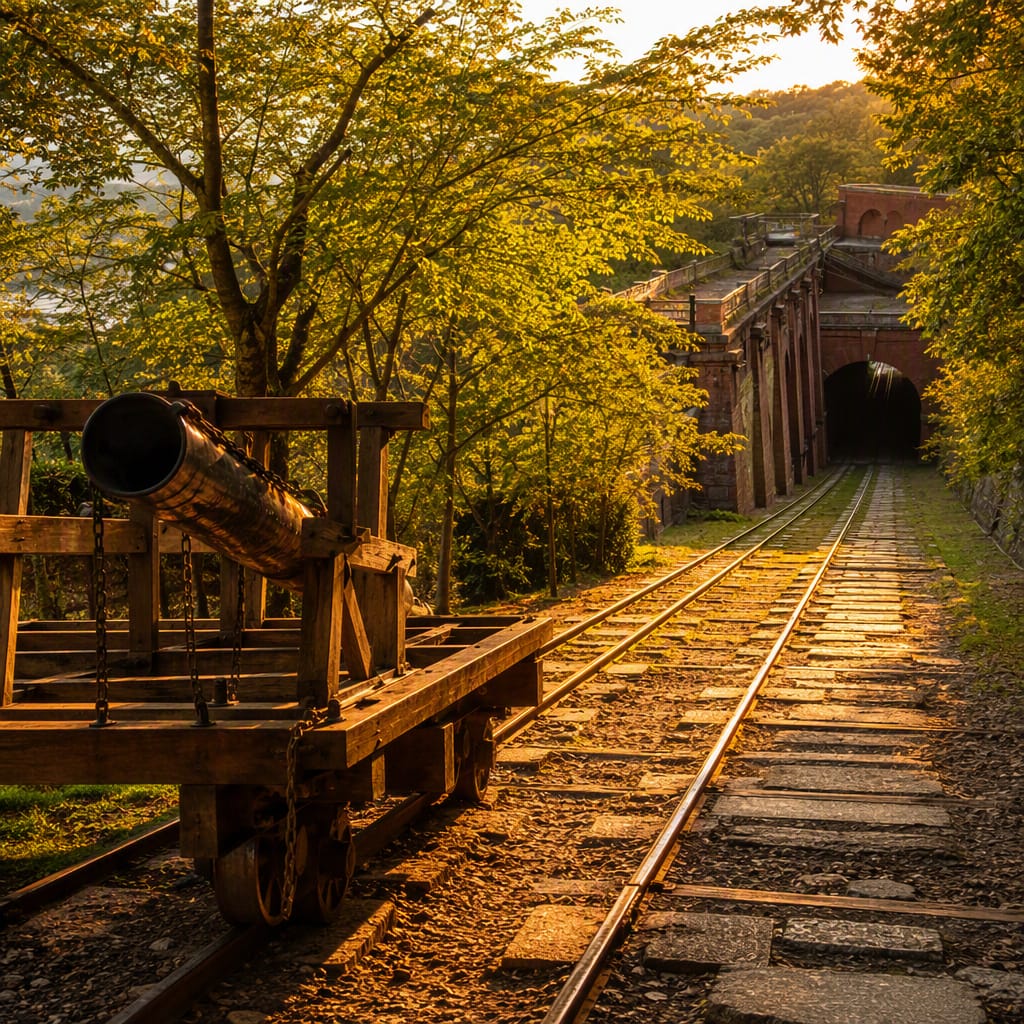
Keage Incline
Historic rails show how canal boats climbed Kyoto’s steep eastern gateway.
Walk beside rails once used to haul entire canal boats over Keage’s steep elevation change. Opened with the Lake Biwa Canal system, the incline connected otherwise separated waterways and helped move timber, rice, stone, and passengers. A reconstructed carrier makes the remarkable scale of this operation easy to imagine.
The route
10 stops, in order.
- 1Stop 1 · Free sample
Keage Incline
Historic rails show how canal boats climbed Kyoto’s steep eastern gateway.
 Stop 2
Lake Biwa Canal Museum
Models and machinery decode the canal system that powered modern Kyoto.
 Stop 3
Nanzenji Boat Basin
A tranquil basin recalls when cargo boats transferred onto the Keage Incline.
- 4Stop 4
Okazaki Canal Promenade
Water, bridges, and civic landmarks turn infrastructure into an elegant urban avenue.
 Stop 5
Kyocera Museum of Art
Imperial-era monumentality meets contemporary design in Kyoto’s landmark municipal art museum.
- 6Stop 6
Heian-jingū Grand Torii
A colossal modern torii uses engineering to magnify an ancient Japanese form.
- 7Stop 7
Kyoto Prefectural Library
A preserved Meiji facade celebrates public learning and Kyoto’s architectural reinvention.
- 8Stop 8
Heian-jingū
A Meiji shrine reveals how Kyoto rebuilt confidence through historical spectacle.
- 9Stop 9
ROHM Theatre Kyoto
Maekawa’s concrete landmark carries Okazaki’s modernist story into the postwar era.
- 10Stop 10
Ebisugawa Power Station
Working hydropower proves Kyoto’s picturesque canal remains productive urban infrastructure.
The app guides you from stop to stop with GPS and plays each story when you arrive.